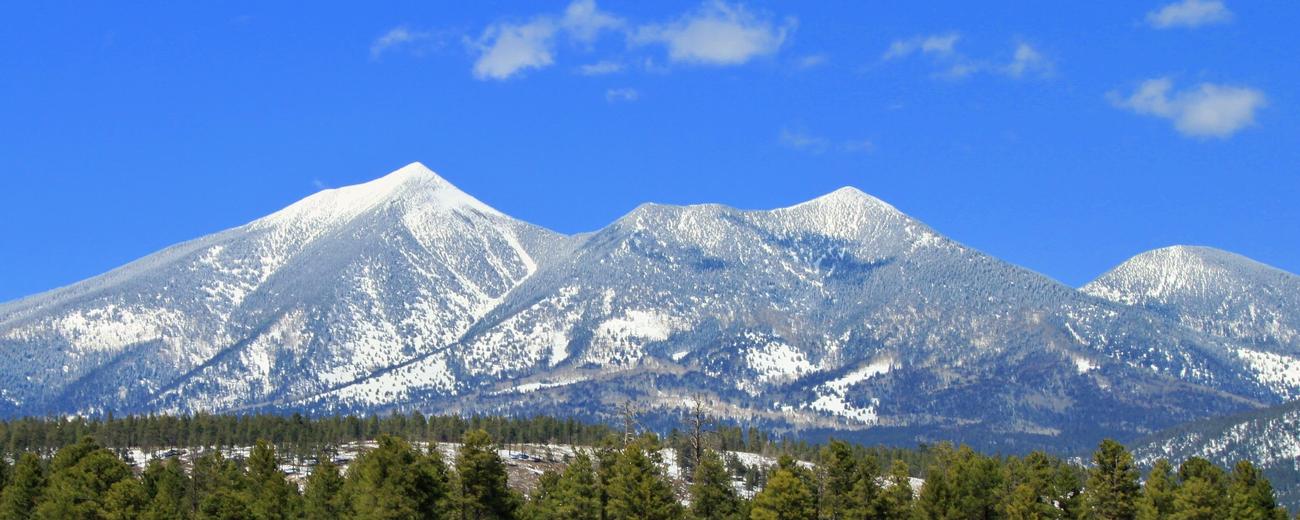


Weather information for the Flagstaff area is provided below. Average temperatures, climate details and current forecasts are included!
Climate
Flagstaff experiences beautiful summers with average highs in the low 80's even at the height of summer. Summer nights are often cool. The winter months are cold with average highs in the 40's.
Average high and low temperatures by month and average precipitation are
set out below:
| Month | Avg. High |
Avg. Low |
Avg. Precip. |
| January | 42° F | 15° F | 2.0 in |
| February | 45° F | 17° F | 2.1 in |
| March | 49° F | 21° F | 2.6 in |
| April | 57° F | 26° F | 1.5 in |
| May | 67° F | 33° F | 0.7 in |
| June | 78° F | 41° F | 0.4 in |
| July | 81° F | 50° F | 2.8 in |
| August | 79° F | 48° F | 2.8 in |
| September | 73° F | 41° F | 2.0 in |
| October | 63° F | 31° F | 1.6 in |
| November | 51° F | 22° F | 2.0 in |
| December | 43° F | 15° F | 2.4 in |
Live weather is currently unavailable.
Please visit weather.gov for current and forecasted weather.
This Afternoon
Partly Sunny
Tonight
Mostly Cloudy then Snow Showers And Patchy Blowing Snow
Thursday
Snow Showers And Blowing Snow
Thursday Night
Snow Showers Likely And Patchy Blowing Snow
Friday
Snow Showers
Friday Night
Chance Snow Showers
Detailed Forecast |
|
|---|---|
| This Afternoon | Partly sunny. High near 56, with temperatures falling to around 53 in the afternoon. Southwest wind around 15 mph, with gusts as high as 23 mph. |
| Tonight | A chance of snow showers between 2am and 5am, then snow showers and patchy blowing snow. Mostly cloudy. Low around 29, with temperatures rising to around 34 overnight. Southwest wind 13 to 23 mph, with gusts as high as 32 mph. Chance of precipitation is 80%. New snow accumulation of 3 to 5 inches possible. |
| Thursday | Snow showers and blowing snow. Cloudy. High near 38, with temperatures falling to around 34 in the afternoon. Southwest wind 24 to 28 mph, with gusts as high as 44 mph. Chance of precipitation is 90%. New snow accumulation of 4 to 8 inches possible. |
| Thursday Night | Snow showers likely and patchy blowing snow. Mostly cloudy, with a low around 21. Southwest wind 9 to 23 mph, with gusts as high as 38 mph. Chance of precipitation is 70%. New snow accumulation of 2 to 4 inches possible. |
| Friday | Snow showers. Mostly cloudy, with a high near 36. North wind 2 to 10 mph, with gusts as high as 16 mph. Chance of precipitation is 80%. New snow accumulation of 3 to 5 inches possible. |
| Friday Night | A chance of snow showers before 5am. Mostly cloudy, with a low around 20. Northwest wind around 8 mph. Chance of precipitation is 50%. New snow accumulation of less than one inch possible. |
| Saturday | Sunny, with a high near 43. North wind around 10 mph, with gusts as high as 17 mph. |
| Saturday Night | Clear, with a low around 18. North wind 2 to 7 mph. |
| Sunday | Sunny, with a high near 53. East wind 2 to 7 mph. |
| Sunday Night | Mostly clear, with a low around 23. East wind around 3 mph. |
| Monday | Sunny, with a high near 55. South wind 2 to 14 mph, with gusts as high as 25 mph. |
| Monday Night | A chance of snow showers after 5am. Partly cloudy, with a low around 25. Southwest wind 9 to 13 mph, with gusts as high as 23 mph. Chance of precipitation is 30%. New snow accumulation of less than one inch possible. |
| Tuesday | A chance of snow showers. Partly sunny, with a high near 42. Southwest wind 12 to 21 mph, with gusts as high as 36 mph. Chance of precipitation is 40%. New snow accumulation of 1 to 2 inches possible. |
| Tuesday Night | A chance of snow showers. Mostly cloudy, with a low around 23. Southwest wind 10 to 18 mph, with gusts as high as 29 mph. Chance of precipitation is 40%. New snow accumulation of around one inch possible. |