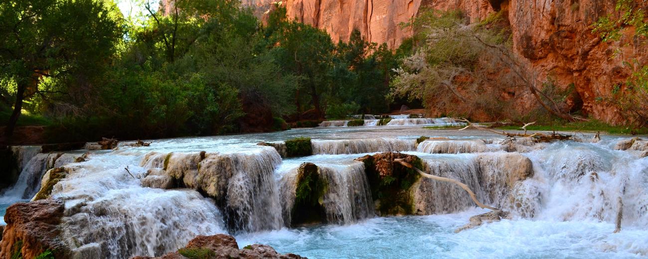


Weather information for the Grand Canyon NP area is provided below. Average temperatures, climate details and current forecasts are included!
Climate
The North Rim at about 9,000 feet is the cooler and wetter than the South Rim. It receives more than 25 inches of precipitation a year compared to the South Rim's 16 inches. The inner Canyon is a desert with less than 8" of rain. Temperatures vary widely depending on where you are. The floor of the canyon can reach 120 degrees in June-July, with much cooler temps along the rims. Information provided below is for the South Rim.
| Month | Avg. High |
Avg. Low |
Avg. Precip. |
| January | 38 ° F | 16° F | 3.73 in |
| February | 40 ° F | 17 ° F | 3.42 in |
| March | 44 ° F | 21° F | 3.64 in |
| April | 52 ° F | 26 ° F | 1.47 in |
| May | 61 ° F | 33 ° F | 0.87 in |
| June | 73 ° F | 41 ° F | .46 in |
| July | 77 ° F | 47 ° F | 1.83 in |
| August | 74 ° F | 46 ° F | 2.17 in |
| September | 68 ° F | 40 ° F | 1.76 in |
| October | 57 ° F | 30 ° F | 2.04 in |
| November | 45 ° F | 22 ° F | 1.84 in |
| December | 40 ° F | 17 ° F | 2.47 in |
Live weather is currently unavailable.
Please visit weather.gov for current and forecasted weather.
This Afternoon
Chance Snow Showers And Patchy Blowing Snow
Tonight
Chance Snow Showers And Patchy Blowing Snow
Friday
Snow Showers Likely
Friday Night
Chance Snow Showers then Partly Cloudy
Saturday
Sunny
Saturday Night
Clear
Detailed Forecast |
|
|---|---|
| This Afternoon | A chance of snow showers before 3pm, then a chance of snow showers and patchy blowing snow. Mostly cloudy. High near 39, with temperatures falling to around 32 in the afternoon. Southwest wind around 28 mph, with gusts as high as 43 mph. Chance of precipitation is 50%. New snow accumulation of 1 to 3 inches possible. |
| Tonight | A chance of snow showers and patchy blowing snow. Mostly cloudy. Low around 22, with temperatures rising to around 24 overnight. Southwest wind 10 to 30 mph, with gusts as high as 43 mph. Chance of precipitation is 40%. New snow accumulation of 1 to 2 inches possible. |
| Friday | Snow showers likely. Partly sunny, with a high near 35. West wind around 12 mph, with gusts as high as 20 mph. Chance of precipitation is 60%. New snow accumulation of less than one inch possible. |
| Friday Night | A chance of snow showers before 11pm. Partly cloudy, with a low around 23. Northwest wind 6 to 12 mph, with gusts as high as 20 mph. Chance of precipitation is 30%. |
| Saturday | Sunny, with a high near 45. North wind around 8 mph. |
| Saturday Night | Clear, with a low around 26. Northeast wind 2 to 7 mph. |
| Sunday | Sunny, with a high near 54. Southeast wind 3 to 7 mph. |
| Sunday Night | Mostly clear, with a low around 30. Southeast wind around 8 mph. |
| Monday | Sunny, with a high near 56. South wind 7 to 18 mph, with gusts as high as 28 mph. |
| Monday Night | A chance of snow showers after 5am. Mostly cloudy, with a low around 32. Southwest wind around 18 mph, with gusts as high as 28 mph. Chance of precipitation is 30%. New snow accumulation of less than half an inch possible. |
| Tuesday | A chance of snow showers. Mostly cloudy, with a high near 42. Southwest wind 20 to 25 mph, with gusts as high as 37 mph. Chance of precipitation is 50%. New snow accumulation of around one inch possible. |
| Tuesday Night | A chance of snow showers. Mostly cloudy, with a low around 29. Southwest wind 22 to 26 mph, with gusts as high as 37 mph. Chance of precipitation is 40%. New snow accumulation of less than half an inch possible. |
| Wednesday | A chance of snow showers. Partly sunny, with a high near 44. Southwest wind 24 to 28 mph, with gusts as high as 41 mph. Chance of precipitation is 40%. New snow accumulation of less than half an inch possible. |
| Wednesday Night | A chance of snow showers. Mostly cloudy, with a low around 30. Southwest wind around 31 mph, with gusts as high as 46 mph. Chance of precipitation is 50%. New snow accumulation of 1 to 3 inches possible. |